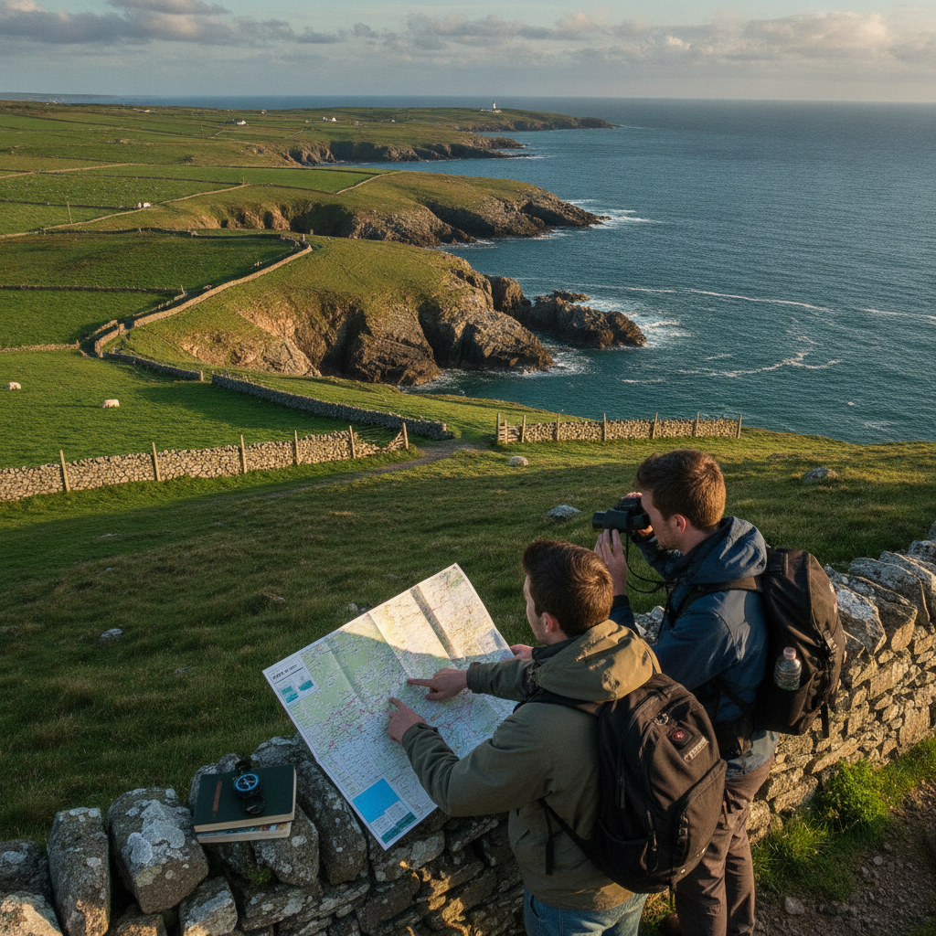
Some of the most rewarding walks in Europe don't appear on the first page of any search result. Ireland's Sheep's Head Peninsula is exactly that kind of place — a narrow finger of land stretching into the Atlantic between Bantry Bay and Dunmanus Bay in West Cork, where the trails are well-marked, the crowds are thin, and the landscape does most of the talking. Planning a walk here without a commercial tour or navigation app is entirely achievable, and in many ways, more satisfying. What it requires is a little preparation, a willingness to read the land, and a respect for the rhythm of the west of Ireland.
Understanding the Waymarked Trail Before You Arrive
The Sheep's Head Way is an established looped trail system covering roughly 88 kilometres of marked walking routes across the peninsula. It's maintained by local volunteers and Comhairle na Tuaithe, and the waymarking — small yellow arrows on wooden posts — is consistent enough to follow without digital assistance. Before you leave home, download a PDF map from the Sheep's Head Way website, which is available free of charge. Print it, fold it, and keep it in your jacket pocket. The trail splits into shorter loops and a longer spine route, so knowing which section you plan to walk each day makes the difference between a confident start and an uncertain one.
Choosing Your Base and Planning Daily Distances
Ahakista and Kilcrohane are the two most practical villages to use as a base if you want to walk the western sections of the peninsula. Both have small accommodation options and access to the trail. From either village, you can structure comfortable day walks of 12 to 18 kilometres that return you to the same point each evening — a much simpler approach than attempting a full linear traverse requiring a car shuttle. Build in shorter days when the forecast changes, because Atlantic weather on Sheep's Head can shift within an hour, and a 15-kilometre walk in mist feels very different from the same route in full sun.
Reading Ordnance Survey Maps for This Terrain
Ordnance Survey Ireland produces a 1:50,000 Discovery Series map (Sheet 88) that covers the Sheep's Head Peninsula in full detail. Pick one up at MacSweeney's newsagent in Bantry before heading out to the peninsula. This scale is genuinely useful here because the peninsula is narrow enough that you can see both coastlines simultaneously from the ridge walks, and the map gives you orientation points — headlands, hill summits, bohereen junctions — that the trail posts alone don't provide. Spend twenty minutes with the map the evening before each walk, tracing your planned route and noting landmarks so the terrain starts to feel familiar before you're standing in it.
Timing Your Start Around the Weather and Light
The western tip of Sheep's Head, near Muntervary, offers one of the finest lighthouse views in Ireland, but only when the sky cooperates. Checking Met Éireann — Ireland's national meteorological service — the night before gives you a reasonable sense of the morning's conditions. Aim for early starts on clear days to reach the exposed ridge sections before any afternoon sea fog develops. In spring and summer, you have enough light to walk comfortably until eight in the evening, which takes pressure off your schedule. In autumn, the peninsula turns copper and rust, the crowds entirely disappear, and the light is extraordinary in the late afternoon hours.
Learning to Use the Waymarking System Confidently
The yellow walking man symbol used on the Sheep's Head Way appears on posts, stones, and occasionally fence posts. At junctions, the arrow points the direction; at road crossings, a post confirms you're on the correct path. The system is reliable enough that most walkers find their confidence builds quickly after the first hour. Where you do need to pay attention is at farm gates, which are a normal part of the route — close them behind you without exception. If a marker seems missing, look for the worn grass path and the next visible post further ahead before changing direction. The trail doesn't disappear; it just occasionally requires a second look.
Knowing Where to Eat, Refuel, and Rest
Services on the peninsula are limited and seasonal, which is part of its appeal. Eileen's Bar in Kilcrohane serves food on most days and is a genuine gathering point for locals. The Sheeps Head Café at Ahakista operates through the warmer months and offers a reliable lunch stop mid-route. Carry more water than you think you need — there are no reliable freshwater sources along the ridge sections — and pack food for the exposed stretches between villages. Let the simple act of sitting on a stone wall with a sandwich and a view replace any expectation of a polished lunch stop. That shift in expectation is one of the genuine pleasures of walking this particular coast.
Handling the Exposed Ridge Sections Safely
The highest sections of the Sheep's Head Way, approaching the summit ridge above Seefin, are fully exposed to Atlantic wind. Even in mild weather, wind chill on the ridge can catch walkers off guard. A waterproof jacket and a second layer in your pack are non-negotiable regardless of how warm the morning felt at the trailhead. The descents on the northern Bantry Bay side can be slippery when wet because the path crosses short grass over rock. Trekking poles help significantly here if you use them. The risk is manageable with the right gear and a reasonable pace — just don't let an optimistic forecast at sea level convince you to leave the jacket behind.
Connecting With Locals for Informal Route Knowledge
The people living on the Sheep's Head Peninsula are accustomed to walkers and are genuinely helpful when asked a direct question. A brief conversation with whoever runs your guesthouse will almost always produce practical guidance — which sections flood after heavy rain, where the best viewpoint for Bantry Bay sits, whether the café is open midweek. This kind of informal local knowledge is more current and more specific than anything written in a guidebook, and it makes the walk feel rooted in the actual place rather than a route you imported from elsewhere. Ask the question simply and honestly, and you'll rarely leave without something useful.
The Sheep's Head Peninsula rewards the kind of traveller who is willing to slow down, read a paper map, and let the path unfold at its own pace. Planning it yourself, without a tour company organising every detail or an app narrating every turn, means arriving at the western tip with a sense of genuine accomplishment. Take that first step toward the trailhead, and the rest tends to arrange itself.